Monday, August 6, 2018

Day 71 - Stewart, BC

We were on the road again pretty early knowing the road will be similar to yesterday. The road surfaces were not the problem, it's the hills and switchbacks. There's no pictures because Susan can't hold on and take pictures at the same time. I can't because I'm driving and trust me there's no place to stop to take a picture. Let me give you a typical example...you descend into a river valley, it's a 10% grade going down 3 - 4 miles, there's a 180 switchback while crossing a river bridge at the bottom, then you climb for 5 miles a 9 - 10% grade. All of this and then they have the nerve to welcome you to the Stewart-Cassiar Highway.

The road into Stewart was absolutely breathtaking. We followed a raging river through the mountains into Stewart. The snow covered peaks were above us with numerous glaciers in the folds of the mountains beside the road.   

We arrived in Stewart the same time as a whole caravan was arriving. We found our spot got backed in and set up before half of them could figure out where they were going. Forget them it's time to explore.

Stewart is located at the head of Portland Canal, a narrow 145 km/90 mile long fjord. The fjord forms a natural boundary between Canada and the United States. Stewart is Canada's most northerly ice-free port.

Gold and silver mining caused a rapid growth in the early part of the 20th century. As many as 10,000 lived in the area but wartime caused a mass exodus. The ore that made Silback Premier Gold Mine, one of British Columbia's richest gold-silver mines was discovered in 1916. This mine would support Stewart and Hyder until the 1950's

Until the 1970's the only connections to the outside world were by water and air. With the construction of Highway 37A, Stewart has become an important port for northwest British Columbia.
Portland Canal
Ship docked in Stewart
At the first hint of gold and silver, two mining brothers arrived in Stewart in 1903. They staked a homestead on 72 acres of dry land above the high tide line. Later arrivals were forced to establish a small commercial camp over the tidal flats built entirely on pilings. These early residents called the town Portland City.

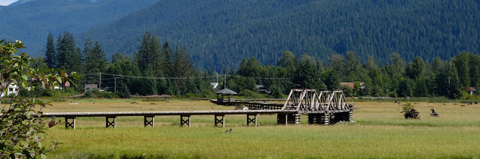
The pilings remain where a town once existed
Public dock - Portland Canal
Someone's house
Another public dock & another house with green space
The 805 meter long raised estuary boardwalk at the head of Portland Canal allows an up close chance to explore the tidal flats in Stewart. These flats are frequented by a variety of birds and ducks.
A large piece of driftwood just sitting on the road
Hopefully, tomorrow we will finally get to see some grizzly bears...I'm hoping.

No comments:

Post a Comment