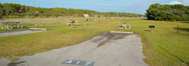
I am always looking for new adventures. So when making winter plans I included Cape Hatteras NS and Ocracoke Island as part of our travels. Part of this adventure requires taking a 1 hour ferry ride from Hatteras to Ocracoke Island for our 2 night stay in the Orcacoke Campground where there are no hookups.
 |
| Identical ferry like the one we are on |
 |
| Very few people in the campground |
The Orcacoke Lighthouse is the oldest operating lighthouse in North Carolina. In 1798 a 54 foot wooden tower was built on Ocracoke Inlet Point. With constant shifting of the inlet the lighthouse became obsolete. It was replaced by a light vessel in 1820 but it to became obsolete in 1822 due to the shifting channel. The present whitewashed tower was completed in 1823 and stands 75 feet tall. The beam is still operational and can be seen 14 miles out to sea.
 |
| Ocracoke Lighthouse |
The Ocracoke Keepers' Quarters was built in 1823 and expanded in 1929. For over 200 years the building has faced mother natures violent hurricanes and Nor'easters. In 2019 Hurricane Dorian brought record storm surges to Ocracoke Island. The Keepers' Quarters was flooded with 18 inches of water causing severe damage. Over the next 12 months at a cost of $3.6 million the Keepers' Quarters will be raised and repaired along with several other buildings.
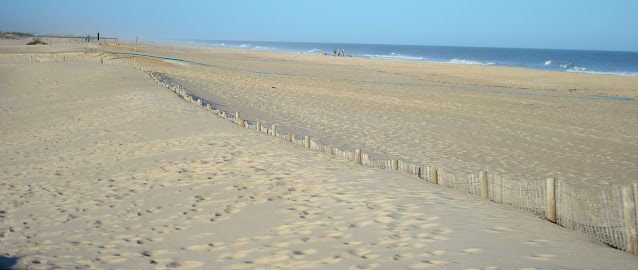
The undeveloped, natural shoreline of Ocracoke Island spans 16 miles of beautiful beaches. However, they do not call these waters the graveyard of the Atlantic for no reason. The rough surf and rip tides can be extremely dangerous.
The Ocracoke ponies also called "Banker" horses have been documented on the island since the first Europeans arrived in 1730. Legend has it they were left behind by shipwrecked explorers in the 16th and 17th century.
As tourist began to increase, these free roaming horses were becoming victims of vehicles crashes. So the NPS developed the now Ocracoke Pony Pen to help keep them safe. The historical herd size stand between 9 to 20 horses with the last foal being born in 2018. There are currently no plans of expanding the herd.
After two days of beautiful but very windy weather we left the island the same way we came, on a much larger ferry at the south end of the island. This one cost us $45 and took roughly 2-1/2 hours to cross to the mainland of Cedar Point NC. We had 4-5 foot swells but the ferry ride was very smooth with only a little bit of rocking and rolling. Chalk it up to another wonderful experience.


