In 1897 gold seekers flocked to Valdez to follow the "All American Route" which took them over the Valdez Glacier into the interior of Alaska. A tent city sprang up at the head of the bay, Valdez was created. In 1907, copper discoveries north of Valdez brought conflict and more development in Valdez. A proposed railroad from Valdez to the rich Kennecott copper mines near McCarthy began a bitter rivalry. A shootout ensued and a half-completed tunnel at mile marker 15 on the highway is all that remains. In 1919 the original gold rush trail was modified into a sled and wagon road. It was routed over Thompson Pass rather than Valdez Glacier. Colonel Wilds Richardson further developed the trail by making the first automobile road. This road renamed the Richardson Highway became Alaska's first highway making Valdez a coastal port for the interior.
Until 1964, Valdez was located 4 miles east of its present location. Much of the original town was destroyed by the Good Friday earthquake (more on that later). The Trans-Alaska pipeline was built between 1975-1977 and carried oil to the nearest ice-free port, Valdez. In 1989, the largest oil spill in North American history, at the time occurred 25 miles from Valdez . The oil tanker Exxon Valdez hit Bligh Reef spilling 11 million gallons of crude oil. Today, much of Valdez's economy depends on the oil, fishing, and tourism industries.
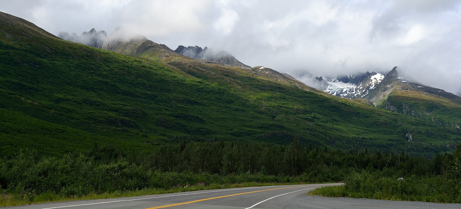
As we got further down the Richardson Hwy the sun is actually trying to poke it's face out. We can now see the beauty that everyone talks about as we wind our way around the mountains.

 |
| Worthington Glacier |

We drove into Keystone Canyon which is located between miles 14 and 17 and there before us was one of many water falls...Bridal Veil Falls cascading over the rock into Lowe River.
 |
| Bridal Veil Falls |
 |
| Keystone Canyon and Lowe River |
 |
| Horsetail Falls |
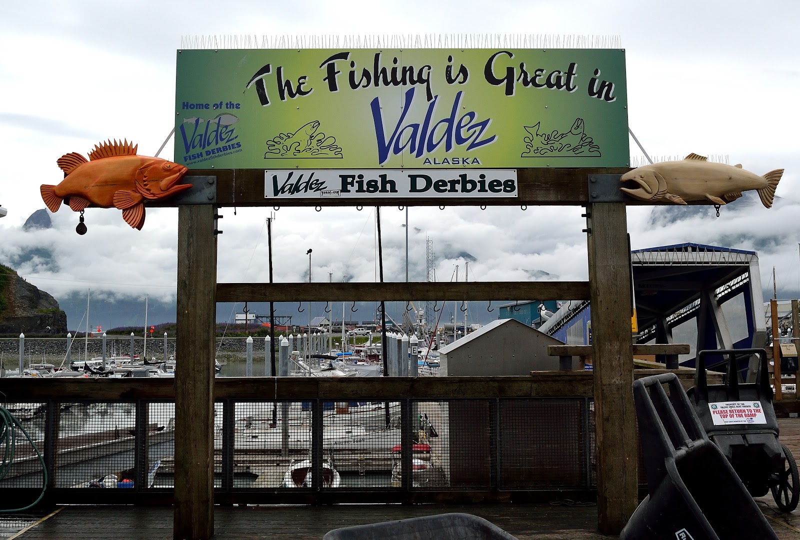
We arrive in the town of Valdez under rainy overcast skies but that is not going to stop me from walking around the town to view the sites.


 |
| This Hoary Marmot was just hanging out |
 |
| Oops |
 |
| Lots of domestic rabbits |
We had a great time exploring...lots more to do tomorrow. So far Valdez is a great place to hang out.
No comments:
Post a Comment